The continued focus on the use of mobile technology in support of humanitarian demining operations has not only highlighted how these technologies can be adapted and used but has also resulted in tangible tools that can be put to use now. Despite these advances, the cost and availability of these capabilities remains a challenge when resources are limited. Together, the U.S. Army’s Unexploded Center of Excellence (UXOCOE) and the Center for International Stability and Recovery (CISR) at James Madison University have solved a key part of that problem by providing resources and access to make a critical set of information available to a wide audience at no cost – the Collaborative ORDnance Data Repository (CORD). CORD provides access to over 5,000 ordnance items that assist demining organizations in the proper identification of explosive remnants of war including data on over 700 landmines. Unfortunately, until recently, this information was only available when connected to the internet or when using specific demining toolsets that included the CO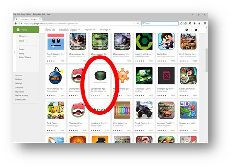 RD information.
The resources and access provided by the UXOCOE and CISR respectively allowed for the development of the data contained in CORD as an Android based mobile application that is available as a free download on the Google Play Store By developing the capability in this manner, anyone with an Android Smartphone can now download the information contained in CORD for use anytime, anywhere – no internet connection nor specialized mobile devices are required. (https://play.google.com/store/apps/details?id=mapps.landmines&hl=en) Developed by MAPPS, Inc., this application is seen as the first step in a crowd based solution to the global mine problem. By empowering the local population with information and tools, they can assist in creating baseline information to assist demining operations in the future.
There is no greater source of information than the local population who spend their lives working and living in the vicinity of landmines. Couple this proximity with the explosion of mobile technology, often in the most rural areas, and you have an opportunity for the collection of a vast amount of information regarding the location and extent of unexploded ordnance contamination prior to any surveying operation being conducted. Having access to a tool such as the CORD mobile application provides a common tool that allows for a more accurate and thorough sharing of information between the local population and demining organizations.
With continued support, and the widespread availability of the CORD database, it is hoped that future versions of the application can include information from the field including updated images that capture what these ordnance items actually look like after being exposed to the elements for decades. Using the Google Play Store also allows users to provide feedback on the application, which will insure that future versions of the application are developed based on the needs of the community making the application even more valuable